Institute of Territorial Engineering
Technologies and sciences at the service of the territory
The territorial engineering institute - institut d'ingénierie du territoire (insit) at HEIG-VD brings together 15 professors and about 30 researchers who use their technical and scientific skills to contribute to territorial development that respect environmental and social challenges. The institute is organized around three main axes of applied research : Geomatics, Civil Engineering and Territorial Planning and Development.
Axes

- Geoinformatics and GIS - Prof. Jens Ingensand
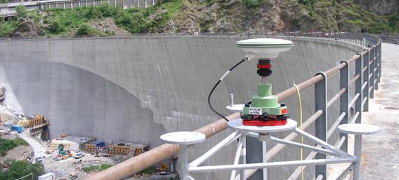
- Geodetic metrology - Franck Schmidt
- Geodesy and navigation - Prof. Sébastien Guillaume
- Photogrammetry and remote sensing - Prof. Adrien Gressin
- BIM and geovisualization - Prof. Bertrand Cannelle
- Surveying - Yves Deillon

- Transports and mobility - Prof. Yves Delacrétaz
- Urban Planning and Design - Prof. Pierre-Henri Bombenger
- Participatory planning - Prof. Florent Joerin
- Environmental engineering - Dominique Bollinger
- Spatial planning - Denis Leroy

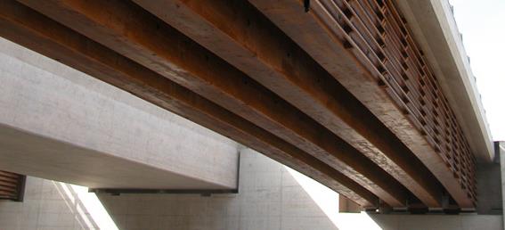
- Timber construction - Prof. Andrea Bernasconi
- Concrete construction - Prof. Marco Viviani
- Metal construction - André Flückiger
- Geotechnical engineering - Prof. Erika Prina Howald
- Hydrology - Prof. David Consuegra
- Road construction - Dr. Françoise Beltzung

